
Short Field 3D · Idaho strip pack
Moose Creek (1U1) in Short Field 3D
Two crossing turf runways on a river terrace. The game lands on the long one, slightly downhill, so the airplane takes longer to stop.
In the menu, pick Moose Creek from the Idaho strips. Free, in your browser, with a keyboard, touch, or your phone as the controller.
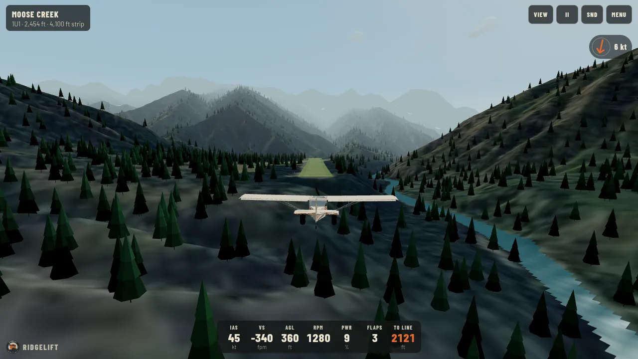
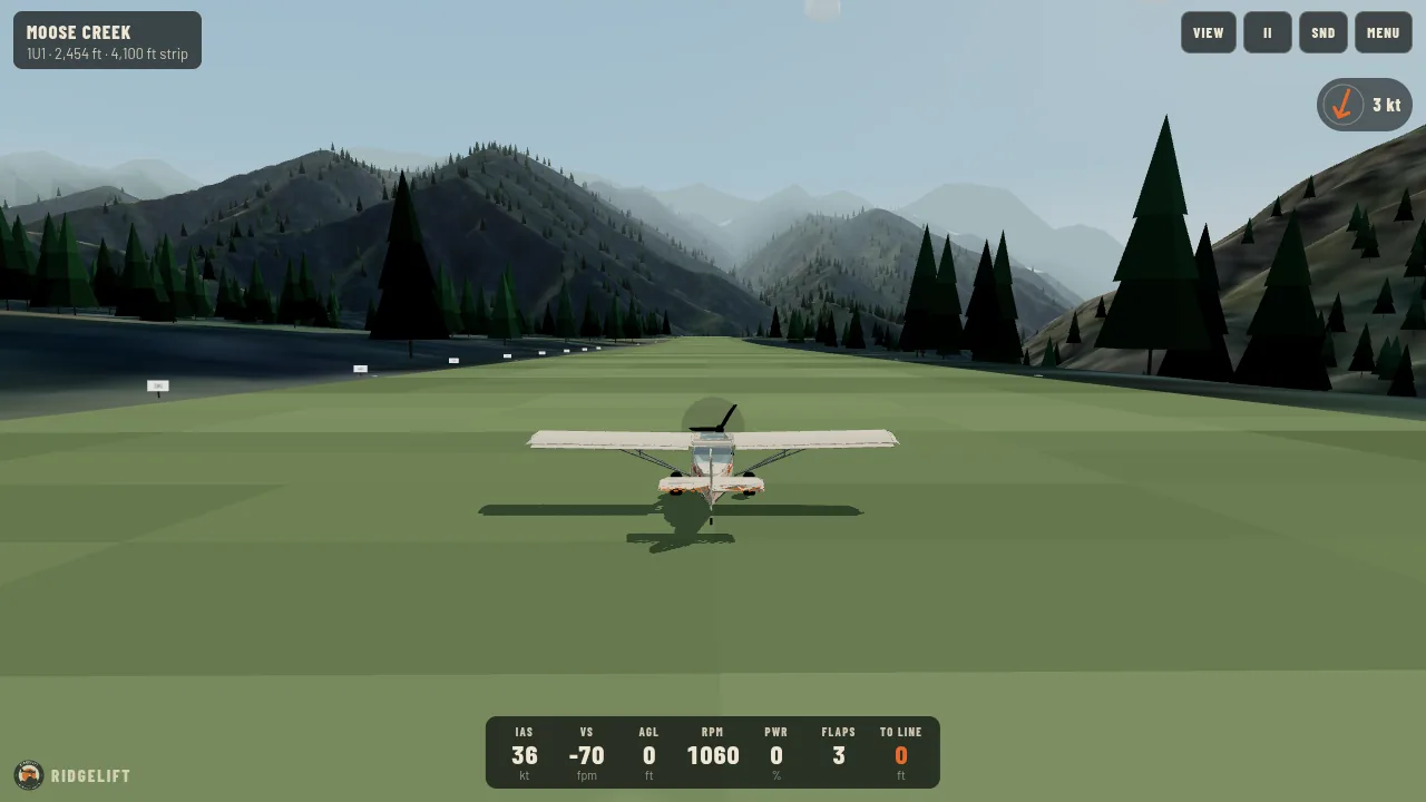
A game, not training; not for navigation. These data are for a video-game scene. They are not a chart, not a procedure, and must not be used for flight planning or real-world navigation.
The scene
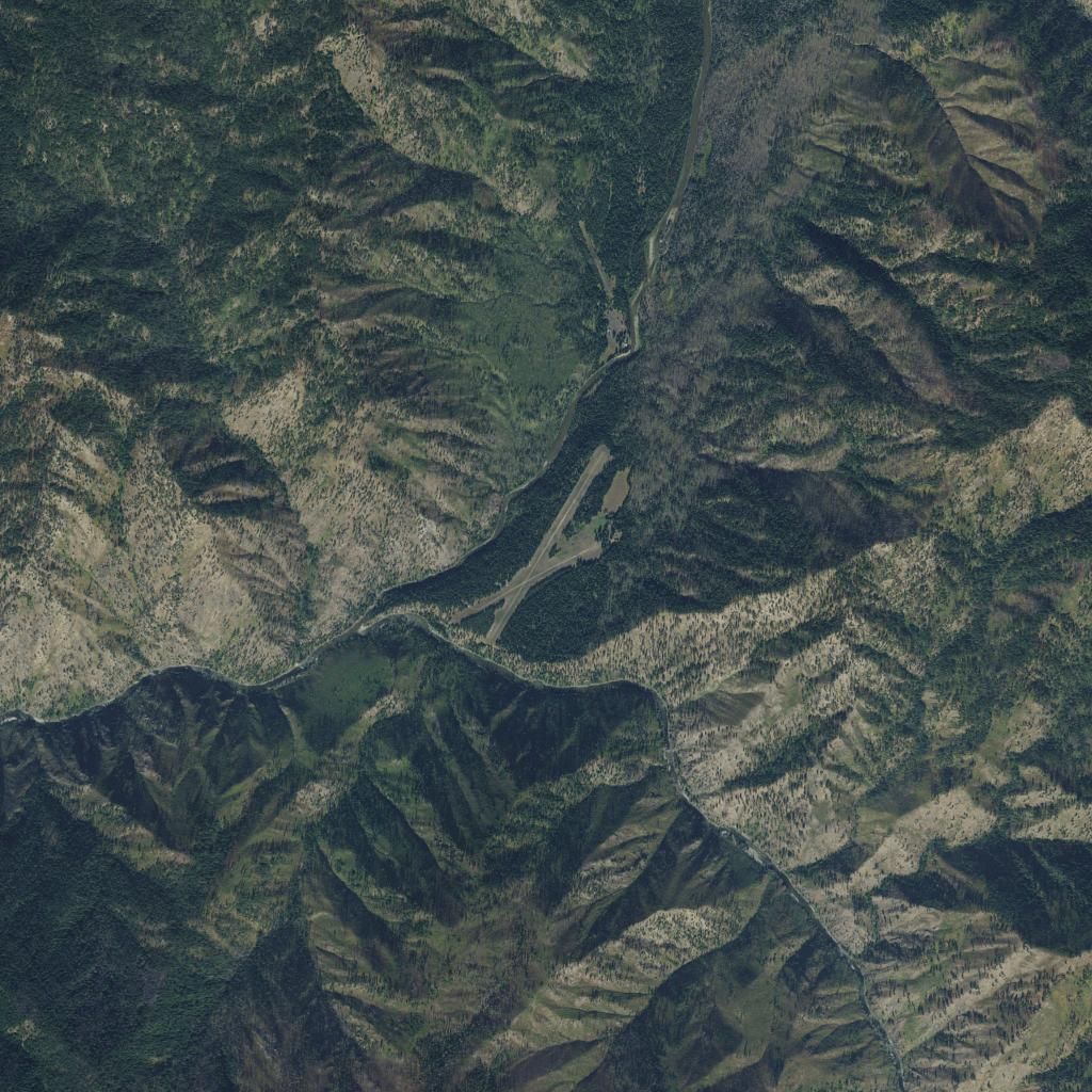
Remote USFS field at the confluence of Moose Creek and the Selway River, in the Selway-Bitterroot wilderness country.
The terrain in the game is the USGS 10 m 3D Elevation Program model of the area, and the ground is a USDA NAIP aerial photo of the field. Rivers and lakes come from the USGS National Hydrography Dataset. The runway is placed from the published FAA data.
- FAA identifier
- 1U1
- Location
- Moose Creek Ranger Station, Idaho
- Field elevation
- 2,454 ft
- Runway 01/19
- 4,100 x 250 ft, turf
- Runway 04/22
- 2,300 x 200 ft, turf (not flown in the game)
- Landing slope in the game
- About 1.2 percent downhill, from USGS 10 m terrain
- The game lands
- Runway 19
- The game departs
- Runway 01
- Owner
- U.S. Forest Service (Nez Perce-Clearwater National Forests)
- Runway data as of
- 29 October 2026 (AirNav citation of FAA data)
Flying there for real
This page describes a game scene. For the real airport, use current official sources, and get mountain-flying instruction before going into any Idaho strip.
The other Idaho strips
- Johnson Creek (3U2)Yellow Pine, Idaho. 3,400 ft turf, elevation 4,960 ft.
- Cavanaugh Bay (66S)Coolin, Idaho. 3,100 ft turf, elevation 2,484 ft.
- Big Creek (U60)Big Creek, Idaho. 3,550 ft turf, elevation 5,743 ft.
- Smiley Creek (U87)Smiley Creek, Idaho. 4,900 ft turf, elevation 7,206 ft.
- Garden Valley (U88)Garden Valley, Idaho. 3,850 ft turf, elevation 3,177 ft.