
Short Field 3D · Idaho strip pack
Cavanaugh Bay (66S) in Short Field 3D
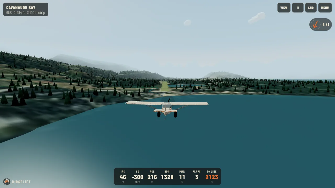
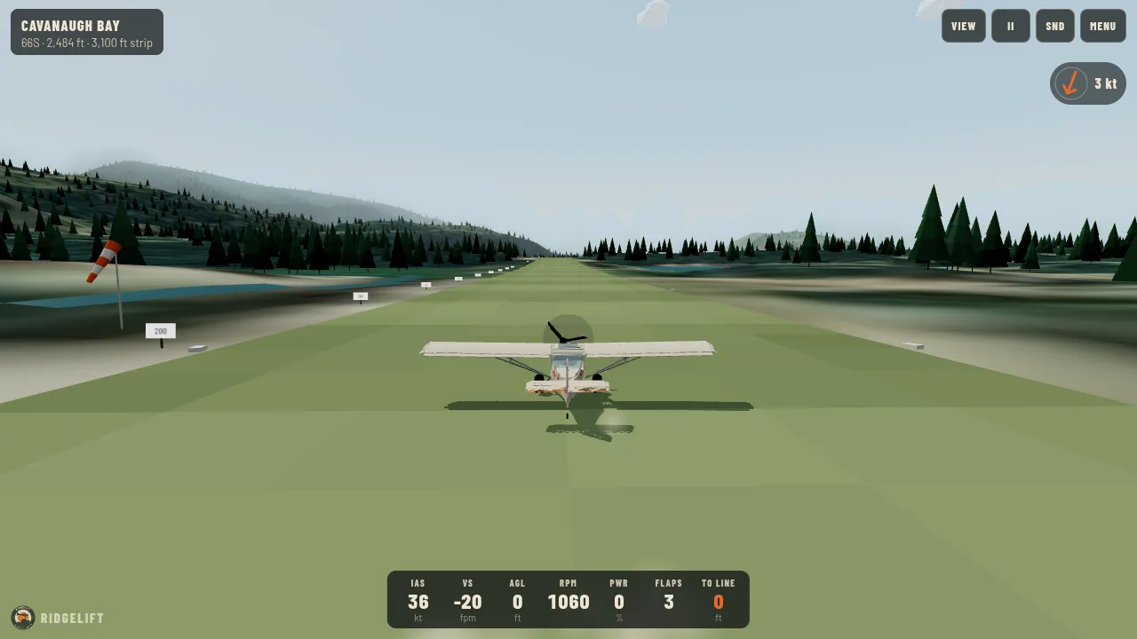
A turf strip on a forested bench above Priest Lake. The runway has a crown, so one end is hidden from the other until you are over it.
In the menu, pick Cavanaugh Bay from the Idaho strips. Free, in your browser, with a keyboard, touch, or your phone as the controller.
A game, not training; not for navigation. These data are for a video-game scene. They are not a chart, not a procedure, and must not be used for flight planning or real-world navigation.
The scene
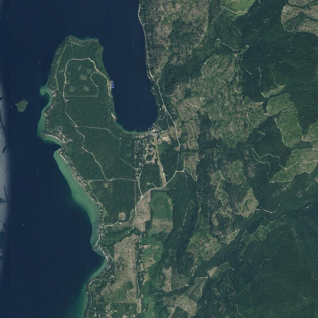
Turf strip on a forested bench on the east shore of Priest Lake, 3 miles north of Coolin, in the Idaho Panhandle.
The terrain in the game is the USGS 10 m 3D Elevation Program model of the area, and the ground is a USDA NAIP aerial photo of the field. Rivers and lakes come from the USGS National Hydrography Dataset. The runway is placed from the published FAA data.
- FAA identifier
- 66S
- Location
- Coolin, Idaho
- Field elevation
- 2,484 ft
- Runway 15/33
- 3,100 x 120 ft, turf
- Landing slope in the game
- About 0.7 percent uphill, from USGS 10 m terrain
- The game lands
- Runway 15
- The game departs
- Runway 33
- Owner
- State of Idaho, ITD Division of Aeronautics
- Runway data as of
- 29 October 2026 (AirNav citation of FAA data)
Flying there for real
This page describes a game scene. For the real airport, use current official sources, and get mountain-flying instruction before going into any Idaho strip.
The other Idaho strips
- Johnson Creek (3U2)Yellow Pine, Idaho. 3,400 ft turf, elevation 4,960 ft.
- Moose Creek (1U1)Moose Creek Ranger Station, Idaho. 4,100 ft turf, elevation 2,454 ft.
- Big Creek (U60)Big Creek, Idaho. 3,550 ft turf, elevation 5,743 ft.
- Smiley Creek (U87)Smiley Creek, Idaho. 4,900 ft turf, elevation 7,206 ft.
- Garden Valley (U88)Garden Valley, Idaho. 3,850 ft turf, elevation 3,177 ft.